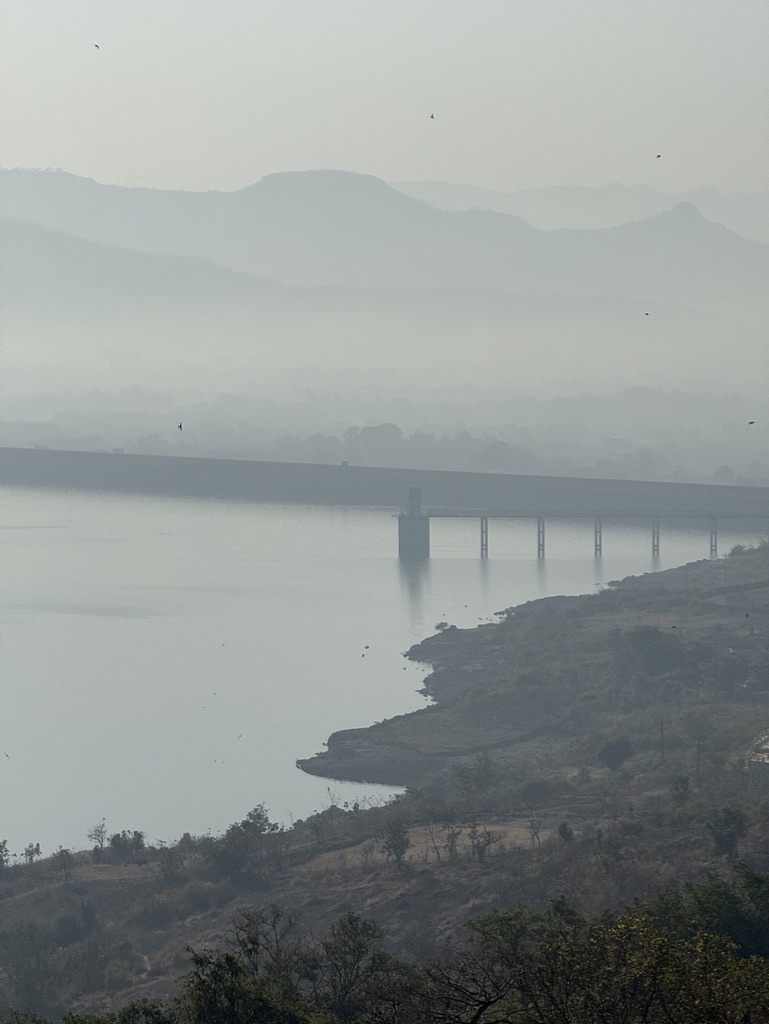
Irshalgad

mountain · Raigad

Irshalgad

Elevation1000 m
Latitude18.9343°N
Longitude73.2322°E

Scroll ↓

A needle of rock with a hole through it, visible from the expressway and ignored by most.

Notes for this place are still to be written — they'll come from the Journal, along with the season to walk it and the way in. Until then the photographs carry it.
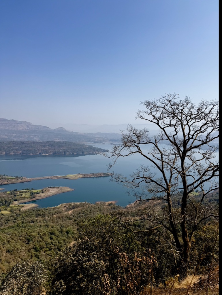
Irshalgad

Irshalgad — on the way up

How hard is it

Four axes · 1–5

Pranav's rating

Two voices, kept apart

Each axis is scored separately, so a short-but-technical place never reads the same as a long-but-easy one. There is no single overall number, on purpose.

Community scores will sit alongside these — never silently merged into them.

Community average: no ratings yet.

You can only rate a place you've actually been to. Submissions need a name and a social handle, and Pranav approves each one before it counts — genuineness can't be verified automatically, so a person checks.

Where

18.9343°N · 73.2322°E

Point is the median GPS of the photographs taken here — not a trailhead. Don’t navigate by it.